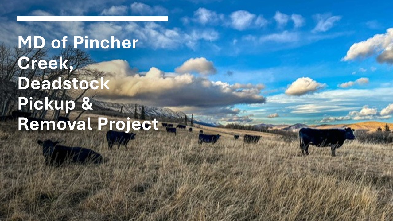
MD of Pincher Creek, Deadstock Pickup & Removal Project
MD of Pincher Creek, Deadstock Pickup & Removal Project
-Updated April 2026-
Bins are for
CATTLE ONLY and will be locked or removed after calving season (approximately June).
For all information about using the deadstock bins, including getting a current CFIA permit to transport Specified Risk Material (SRM), please contact the MD of Pincher Creek Agricultural Fieldman, Shane Poulsen, at 403-339-8741 or visit
www.watertonbiosphere.com for full program information.
Notes for Bin Usage:
-
You need to call the Renderer, West Coast Reductions, at 403-328-1336, and let them know that you've dropped off an animal with the corresponding bin number (1 to 6).
-
No animals other than cattle can be deposited because they will not be removed by the renderers.
-
Please use ON-FARM PICK-UP for horses, goats, as well as large cows or bulls.
-
DON’T OVERFILL THE BIN - This helps prevent attracting carnivores.
-
All cattle carcasses must have a valid CCIA tag affixed to their ear – THIS INCLUDES BORN-DEAD CALVES.
-
Any cattle tested for BSE with an ABSURV tag must not be placed in the bin until test results have been received by the renderer. Contact West Coast Reduction.
-
Please complete the log book entirely — in the tube on the side of the bin, it must be filled out completely (with the following):
-
Date – day, month and year of deposit
-
CCIA Tag Numbers – Please double check your tag numbers for an exact match
-
Full name – first and last as shown on your CFIA transport permit. Please do everything possible to have a current CFIA permit before depositing cattle into the bin (if no permit or an outdated permit, please call Shane at 403-339-8741 for help)
Below are the locations of the current deadstock bins, coordinated on the maps.
1.) Yak Hengerer (hosted by Todd Vance) – Bin #1
Bin Location: NE 2-5-29 W4 Lat. 49.356309° Long. -113.791514°
Directions to bin site: Travel 9.5 miles (15.25 km) S on Hwy 6 from Pincher Creek, turn E on Township Line Road (TWP Rd 5-0, Hwy #6) and travel 5 miles (8 km). At just under 5.0 miles (8 km), turn N for 0.5 miles (0.8 km) and bin is on W side of road.
2.) Tony Bruder – Bin #2
Bin Location: SE 15-4-29 W4 Lat. 49.291125° Long. -113.813679°
Directions to bin site: From Hwy 6 S, turn East after Twin Butte Hall (Township Road 4-0), and travel just over 1 mile (1.6 km). Turn North onto Range Road 29-3, follow for 1.5 miles (2.4 km) and turn East at T-intersection onto Township Road 4-1A. Travel for 0.6 mile (1 km) and bin is on NE corner by gravel pit.
3.) Jen Jenkins (Jenkins Ranch) – Nature Conservancy – Bin #3
Bin Location: NE 21-2-29 W4 Lat. 49.140768° Long. -113.827268°
Directions to bin site: From Hwy 6 S, turn East on Township Road 2-4A. Follow road for 1.25 miles (2 km) to bin location.
4.) Robert Wolbert – Bin #4
Bin Location: SE 2-9-2 W5 Lat. 49.699080° Long. -114.159036°
Directions to bin site: Go North on Hwy 22 for 5.5 miles (9 km), turn east onto Township Road 8-4, Hwy #22. Follow for 1.0 mile (0.6 km) and bin will be on left hand side.
5.) Mark Burles – Bin #5
Bin Location: SW 14-8-1 W5 Lat. 49.645735° Long. -114.044275°
Directions to bin site: From Hwy 510 (N of Cowley) turn N onto Snake Trail (RR 1-2A) and travel approximately 2.5 miles (4 km). Bin will be on E side of road, in field just W of Mark’s house.
6.) MD of Pincher Creek (Shane Poulsen) – Bin #6
Bin Location: Pincher Creek Airport – NE 32-6-30 W4, 1001 TWP Rd 7-0 Lat. 49.523047° Long. -113.997174°
Directions to bin site: From Hwy #3, turn S on Hwy #3A (3/4 mile [1.25 km] W of Pincher Station) and follow (W) for 1.5 miles (2.4 km), turning left at the ‘Pincher Creek Airport’ sign. Follow the gravel road E for 250 m and Bin is at the end of the road.
%20Map%20of%20Deadstock%20Bins%20S%20of%20PC.jpg)
%20Map%20of%20Deadstock%20Bins%20N%20of%20PC.jpg)
Return to News & Events